Pict. Monterey County, California - Pacific Ocean waters along 17-Mile Drive (1920-1940).1389 (#California #County #Ocean #Waters #Monterey)Pict. 799×752 px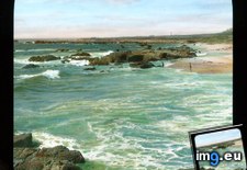 Pict. Monterey County, California. Pebble Beach Golf Course on 17-Mile Drive (1920-1940).1392 (#Beach #California #County #Golf #Pebble)Pict. 799×764 px
 Pict. Monterey County, California. 17-Mile Drive - view with tile-roofed house (1920-1940).1394 (#California #House #County #Tile #Roofed)Pict. 799×780 px
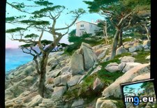 Pict. Monterey County, California. Pebble Beach Golf Course on 17-Mile Drive (1920-1940).1395 (#Beach #California #County #Golf #Pebble)Pict. 799×751 px
 Pict. Monterey County, California. Point Lobos - scenic view with cypress (1920-1940).1380 (#California #County #Monterey #Cypress #Lobos)Pict. 799×737 px
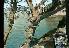 Pict. Monterey County, California. Point Lobos - scenic view with cypress (1920-1940).1406 (#California #County #Monterey #Cypress #Lobos)Pict. 799×757 px
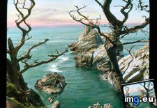 Pict. Monterey County, California - Midway Point along 17-Mile Drive (1920-1940).1390 (#California #County #Mile #Monterey #Midway)Pict. 799×776 px
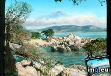 Pict. Monterey County, California - Midway Point along 17-Mile Drive (1920-1940).1397 (#California #County #Mile #Monterey #Midway)Pict. 799×735 px
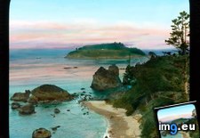
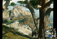 Pict. Monterey County, California - scenic coastal view with inlet, near Monterey (1915-1920).1375 (#California #County #Scenic #Monterey #Coastal #Inlet)Pict. 799×765 px
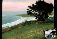 Pict. Monterey County, California - rocky shore along 17-Mile Drive (1920-1940).1407 (#California #County #Mile #Shore #Monterey)Pict. 799×774 px
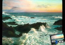 Pict. Monterey County, California - rocky shore along 17-Mile Drive (1915-1920).1403 (#California #County #Mile #Shore #Monterey)Pict. 799×755 px
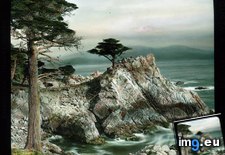 Pict. Monterey County, California - cypress trees on 17-Mile Drive (1915-1920).1404 (#California #County #Mile #Monterey #Cypress)Pict. 799×770 px
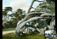 Pict. Monterey County, California (qm) - panoramic view of California coastline (1920-1940).1388 (#California #County #Panoramic #Monterey #Coastline)Pict. 799×762 px
 Pict. [Mapporn] Illustrated history and map of the Monterey Peninsula by Jo Mora [1927] [1650x2135] (#Map #History #Illustrated #Peninsula #Monterey)Pict. 1650×2135 px
![[Mapporn] Illustrated history and map of the Monterey Peninsula by Jo Mora [1927] [1650x2135] (#Map #History #Illustrated #Peninsula #Monterey) - 876 KB Tags: history, illustrated, map, monterey, peninsula (Pict. in My r/MAPS favs)](https://t.im9.eu/mapporn-illustrated-history-and-map-of-the-monterey-peninsula-by-jo-mora-1927-1650x2135.jpg)
★ 10k pts. ♥ 0 likes ⬇ 5 saves
 Pict. Monterey County, California. Pebble Beach Golf Course on 17-Mile Drive (1920-1940).1392 (#Beach #California #County #Golf #Pebble)Pict. 799×764 px
★ 10k pts. ♥ 0 likes ⬇ 7 saves
 Pict. Monterey County, California. 17-Mile Drive - view with tile-roofed house (1920-1940).1394 (#California #House #County #Tile #Roofed)Pict. 799×780 px
★ 10k pts. ♥ 0 likes ⬇ 2 saves
 Pict. Monterey County, California. Pebble Beach Golf Course on 17-Mile Drive (1920-1940).1395 (#Beach #California #County #Golf #Pebble)Pict. 799×751 px
★ 10k pts. ♥ 0 likes ⬇ 6 saves
 Pict. Monterey County, California. Point Lobos - scenic view with cypress (1920-1940).1380 (#California #County #Monterey #Cypress #Lobos)Pict. 799×737 px
★ 10k pts. ♥ 0 likes ⬇ 5 saves
 Pict. Monterey County, California. Point Lobos - scenic view with cypress (1920-1940).1406 (#California #County #Monterey #Cypress #Lobos)Pict. 799×757 px
★ 10k pts. ♥ 0 likes ⬇ 4 saves
 Pict. Monterey County, California - Midway Point along 17-Mile Drive (1920-1940).1390 (#California #County #Mile #Monterey #Midway)Pict. 799×776 px
★ 10k pts. ♥ 0 likes ⬇ 7 saves
 Pict. Monterey County, California - Midway Point along 17-Mile Drive (1920-1940).1397 (#California #County #Mile #Monterey #Midway)Pict. 799×735 px
★ 10k pts. ♥ 0 likes ⬇ 3 saves
 Pict. Monterey County, California - scenic coastal view with inlet, near Monterey (1915-1920).1375 (#California #County #Scenic #Monterey #Coastal #Inlet)Pict. 799×765 px
★ 10k pts. ♥ 0 likes ⬇ 9 saves
 Pict. Monterey County, California - rocky shore along 17-Mile Drive (1920-1940).1407 (#California #County #Mile #Shore #Monterey)Pict. 799×774 px
★ 10k pts. ♥ 0 likes ⬇ 9 saves
 Pict. Monterey County, California - rocky shore along 17-Mile Drive (1915-1920).1403 (#California #County #Mile #Shore #Monterey)Pict. 799×755 px
★ 10k pts. ♥ 0 likes ⬇ 18 saves
 Pict. Monterey County, California - cypress trees on 17-Mile Drive (1915-1920).1404 (#California #County #Mile #Monterey #Cypress)Pict. 799×770 px
★ 10k pts. ♥ 0 likes ⬇ 3 saves
 Pict. Monterey County, California (qm) - panoramic view of California coastline (1920-1940).1388 (#California #County #Panoramic #Monterey #Coastline)Pict. 799×762 px
★ 9860 pts. ♥ 0 likes ⬇ 5 saves
 Pict. [Mapporn] Illustrated history and map of the Monterey Peninsula by Jo Mora [1927] [1650x2135] (#Map #History #Illustrated #Peninsula #Monterey)Pict. 1650×2135 px
★ 6114 pts. ♥ 0 likes ⬇ 2 saves
![[Mapporn] Illustrated history and map of the Monterey Peninsula by Jo Mora [1927] [1650x2135] (#Map #History #Illustrated #Peninsula #Monterey) - 876 KB Tags: history, illustrated, map, monterey, peninsula (Pict. in My r/MAPS favs)](https://t.im9.eu/mapporn-illustrated-history-and-map-of-the-monterey-peninsula-by-jo-mora-1927-1650x2135.jpg)